Friday, October 30th, 2020
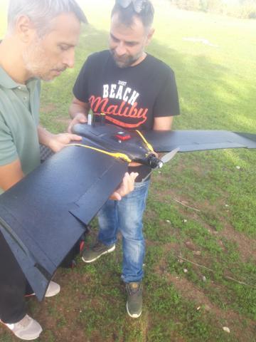
For the estimation of vegetation indexes, BPI used a multispectral camera loaded on an UAV at a corn field in Pyrgos, Peloponnese.
Vegetation indexes are parameters needed for the estimation of Soil Carbon Stock changes.